Source: Indigenous Atlas of Australia; © Josephine Watjara Mick/Copyright Agency, 2022

We recognise Aboriginal and Torres Strait Islanders as the sovereign Traditional Owners of Australia and thank them for their stewardship of this Country, its lands, waters and skies. We respectfully acknowledge their culture and customary practices, and pay respect to their Ancestors, Elders and future leaders.
For the first time, the State of the Environment report includes a strong Indigenous narrative across all 12 thematic chapters, a narrative crafted through recognising the leadership, collaboration and authorship of Indigenous Australians who continue their connection as Traditional Owners to their lands, waters and skies.
Click to view the State of the Environment report
On 28 March 2025 the government assumed a Caretaker role. Information on websites maintained by the Department of Climate Change, Energy, the Environment and Water will be published in accordance with the Guidance on Caretaker Conventions until after the conclusion of the caretaker period.
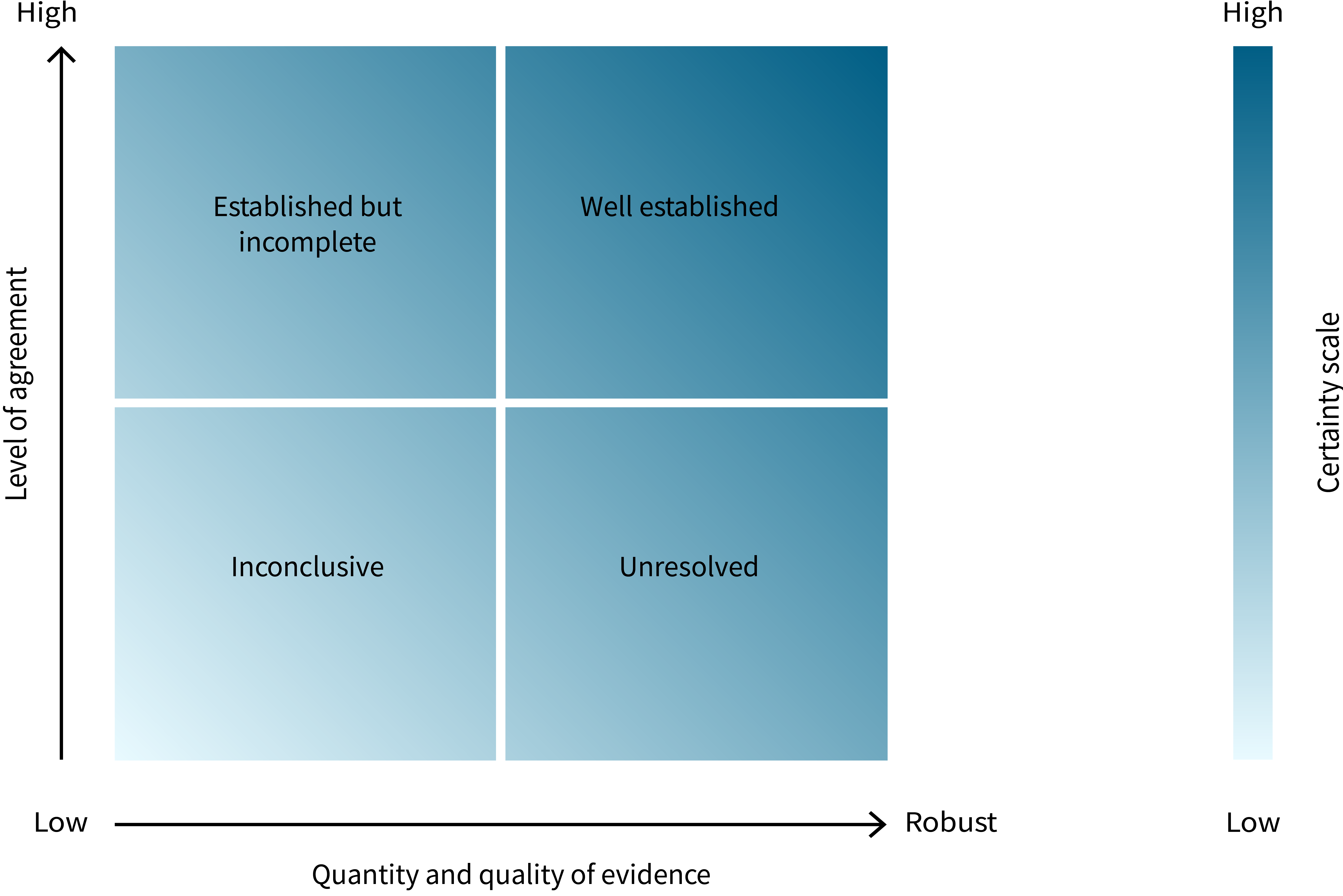
Due to technical issues, graphs, maps and tables are currently not displaying within the main content, however, are available via the chapter resources navigation bar. We are working on a solution to resolve the issue.
Source: Indigenous Atlas of Australia; © Josephine Watjara Mick/Copyright Agency, 2022

Source: Torres Strait Regional Authority © 2021

Note: Size of words is in proportion to the number of times each word was spoken.
|
Remoteness categorya |
Usual place of residenceb (%) |
People who identify as Indigenousc (%) |
|---|---|---|
|
Major Cities |
37.4 |
1.5 |
|
Inner Regional |
24.0 |
3.9 |
|
Outer Regional |
19.7 |
7.0 |
|
Remote |
6.2 |
16.0 |
|
Very Remote |
12.2 |
46.0 |
a Excludes Other Territories (according to 2016 Census data), comprising Jervis Bay Territory, Cocos (Keeling) Islands, Christmas Island and Norfolk Island, Migratory-Offshore-Shipping, and No Usual Address.
b Usual residence, excludes overseas visitors or Indigenous people living overseas, according to 2016 Census data.
Source: ABS (2018)
|
Attribute |
Definition |
Land area (’000 ha) |
Proportion of Australia’s total land area (%)a |
|---|---|---|---|
|
Indigenous owned |
Freehold land or forest that is owned by Indigenous communities, or land or forest for which ownership is vested through other mechanisms |
133,501 |
17.0 |
|
Indigenous managed |
Land or forest that is managed by Indigenous communities |
141,357 |
18.0 |
|
Indigenous co-managed |
Land or forest that has a formal, legally binding agreement in place to include input from Indigenous people in the process of developing and implementing a management plan |
32,707 |
4.3 |
|
Subject to other recognised Indigenous rights |
Land or forest subject to native title determinations, registered Indigenous Land Use Agreements and legislated special cultural use provisions |
337,174 |
44.0 |
|
Total area in Australia |
Combination of the above taking account of the overlap between categories |
437,679 |
57.0 |
a Calculated from the total area of Australia of 768,909,000 hectares (ha).
Note: Totals may not tally due to rounding.
Sources: Jacobsen et al. (2020), Rist et al. (2019). Note about the original: The attributes of the Indigenous estate (this work) and the National Forest Inventory tenure classes (ABARES 2018a) are assembled independently using different sources of data, which have varying currency. The datasets used in this work are those used for reporting in MPIGA & NFISC (2018), and different results could be obtained using more recent datasets.
|
Legislation |
Description |
Indigenous focus |
|---|---|---|
|
Commonwealth – Environment Protection and Biodiversity Conservation Act 1999 and Environment Protection and Biodiversity Conservation (EPBC) Regulations 2000, Part 8A |
A permit is required to access biological resources. In addition, a benefit-sharing agreement is required to be entered into with each access provider, such as the Indigenous owner of land, for access for (potential) commercial purposes under part 17 of the Regulations |
If the biological resources to which access is sought are in an area that is Indigenous people’s land and an access provider for the resources is the owner of the land or a native title holder for the land, the owner or native title holder must give informed consent to a benefit-sharing agreement concerning access to the biological resources (Article 8A.10(1), EPBC Regs). The Regulations also stipulate (Article 8A.08, EPBC Regs) that prior informed consent and benefit sharing are required for access where Indigenous knowledge is used for research and development |
|
Australian Capital Territory – Nature Conservation Act 2014 |
An applicant for a nature conservation licence to access biological resources for commercial purposes in a reserve must enter into a benefit-sharing agreement with each access provider of the resources |
Covers access to biological resources in reserves, including those held by native title holders |
|
Queensland – Biodiscovery and Other Legislation Amendment Act 2020 (amends the Biodiscovery Act 2004)
|
The Act imposes an obligation on persons accessing traditional knowledge when engaging in or preparing to engage in biodiscovery. Those persons must take all reasonable and practical measures to ensure they do not use the traditional knowledge for biodiscovery other than under an agreement with the custodians of the knowledge. The relevant minister must be satisfied that traditional knowledge will be protected before entering into benefit-sharing agreements |
The Act is accompanied by the Traditional Knowledge Code of Practice (2021). The code clarifies the circumstances under which a biodiscovery entity must meet the traditional knowledge obligation. The 6 requirements are:
|
|
Northern Territory – Biological Resources Act 2006 |
Bioprospectors must enter into benefit-sharing agreements with each resource access provider. Resource access providers are required to give prior informed consent for a benefit-sharing agreement to be valid |
Benefit-sharing arrangements must include protection for, recognition of and valuing of any Indigenous people’s knowledge to be used under s. 29 |
|
Dominant BADDR data |
Indigenous data needs |
|---|---|
|
Blaming data: Too much data contrasts Indigenous and non-Indigenous data, rating the problematic Indigene against the normed Australian as the ubiquitous pejorative standard |
Lifeworld data: We need data to inform a comprehensive, nuanced narrative of who we are as peoples, of our culture, our communities, of our resilience, our goals and our successes |
|
Aggregate data: Too much data are aggregated at the national and/or state level, implying Indigenous cultural and geographical homogeneity |
Disaggregated data: We need data that recognise our cultural and geographical diversity and can provide evidence for community-level planning and service delivery |
|
Decontextualised data: Too much data are simplistic and decontextualised, focusing on individuals and families outside of their social/cultural context |
Contextualised data: We need data that are inclusive of the wider social structural context/complexities in which Indigenous disadvantage occurs |
|
Deficit, government priority data: Too much (way too much) 5D data: These data focus on disadvantage, disparity, dysfunction, difference, deficit (Walter 2016) collected to serve government priorities |
Indigenous priority data: We need data that measure not just our problems but data that address our priorities and agenda |
|
Restricted access data: Too much data are barricaded away by official statistical agencies and institutions |
Available amenable data: We need data that are accessible and amenable to our requirements |
BADDR = blaming, aggregate, decontextualised, deficit and restricted
Source: Reproduced from Table 1 in Walter et al. (2020)
|
Jurisdiction |
Area (’000 hectares) |
Total land area that is in the Indigenous estate (%) |
|||||
|---|---|---|---|---|---|---|---|
|
Total land area |
Indigenous owned |
Indigenous managed |
Indigenous co-managed |
Other special rights |
Total land area in the Indigenous estatea |
||
|
ACT |
236 |
0 |
0 |
107 |
0 |
107 |
45.0 |
|
NSW |
80,131 |
447 |
444 |
3,171 |
1,920 |
4,862 |
6.1 |
|
NT |
134,837 |
66,016 |
61,601 |
4,567 |
40,262 |
103,552 |
77.0 |
|
Qld |
173,002 |
8,847 |
6,626 |
4,358 |
84,046 |
86,887 |
50.0 |
|
SA |
98,430 |
22,217 |
20,259 |
14,908 |
57,767 |
79,083 |
80.0 |
|
Tas |
6,829 |
69 |
68 |
1,555 |
0 |
1,624 |
24.0 |
|
Vic |
22,742 |
111 |
12 |
429 |
8,518 |
8,579 |
38.0 |
|
WA |
252,702 |
35,794 |
52,346 |
3,613 |
144,660 |
152,985 |
61.0 |
|
Totalb |
768,909 |
133,501 |
141,357 |
32,707 |
337,174 |
437,679 |
57.0 |
ACT = Australian Capital Territory; NSW = New South Wales; NT = Northern Territory; Qld = Queensland; SA = South Australia; Tas = Tasmania; Vic = Victoria; WA = Western Australia